
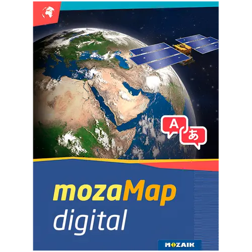
- MOZAIK EDUCATION
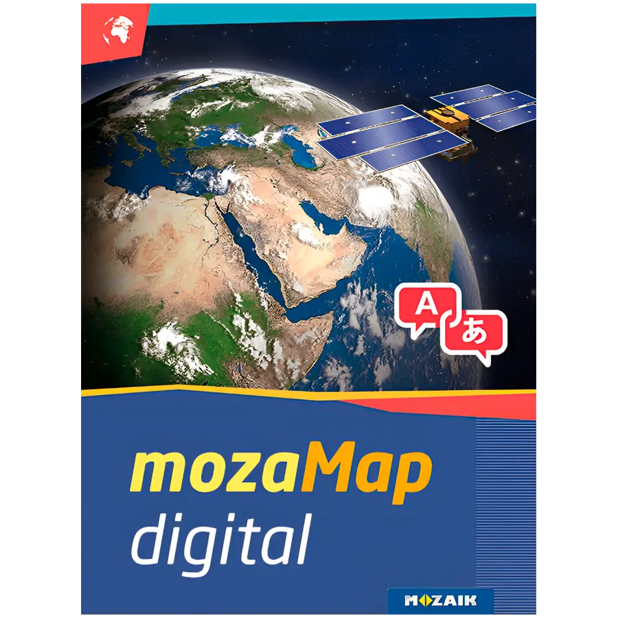


mozaMap
With 1 year license, you get 288 Multilingual Digital Maps for Interactive Boards or any Windows device

Now Geography and History teachers can plan and conduct classes more efficiently, by using or even customizing various types of maps and their visual elements. To enjoy the benefits of mozaMap atlases, keep in mind that you need to purchase the mozaBook software license first.
WHAT MAKES MOZAMAPS SPECIAL
| Printed maps are no longer necessary. You can have more digital maps instead, store them in your device to save space and present them anywhere.
| Ability to highlight important details. MozaMap atlases include layers and teachers can easily switch them on/off or set to flash, adjusting them to the needs of each lesson.
| All map segments can be enlarged without losing their quality, as they are vector-based files, enabling dynamic scale adjustments to the current magnification in real time.
| Multilingual in a few clicks. Both labels and user interface (menu system, layer names, legends, etc.) can be switched to the language you prefer.
| Increased interaction and student engagement through illustrations and other digital features available in the software.


PERSONALIZED USE
All texts included in the maps can be searched and found, while map layers can be turned on/off, one by one. In addition, educators can easily customize map views, adjusting them each time to the needs of their classroom for better results. For example, they can label and save the maps they created, including zoomed views, drawings, or even visible layers. Saved views can be inserted into mozaBook and opened during the lesson with a single click.
NUMEROUS ILLUSTRATION OPTIONS
Use the individual map layers to add freehand lines, images, geographical and historical symbols from a large collection or even annotations. With the built-in drawing tool, you get multiple options for illustration, as well as the ability to adjust their size to the scale of the map, save or move them. Whatever you create can be later used in the classroom.


| Atribut | Valoare |
|---|---|
| Pack Length (mm) | 0 mm |
| Pack Width (mm) | 0 mm |
| Pack Height (mm) | 0 mm |
| Greutate | 0.00kg |
| Atribut | Valoare |
|---|---|
| Software Category | Utilities |
| Supported OS | Cross-platform |
| License Type | Subscription |
| License Duration | 1 Year |
| Number of Devices (count) | 1 |
| Language | Multilanguage |
| Media Type | Digital Key |
| Target User | Education |
| Number of Users (count) | 1 |
| Cloud Storage Included (GB) | 0 |
| Architecture | 64-bit |
| Activation Type | Online |
| Greutate | 0.00kg |

Многоезичен географски дигитален атлас за средно училище
Отключете света за вашите ученици с този обширен дигитален атлас, включващ 288 подробни карти, специално създадени за средното образование. Обхващащ физическа, политическа и тематична география, той предлага интерактивно учебно преживяване, което оживява уроците.
Ключови Предимства
- Обширна колекция от карти — 288 карти, покриващи широк спектър от географски теми, осигуряващи съответствие с учебната програма.
- Многоезична поддръжка — Достъпен на множество езици, идеален за разнообразни класни стаи и езиково обучение.
- Интерактивно обучение — Цифровият формат позволява мащабиране, преместване и превключване на слоеве за по-задълбочено изследване.
- Годишен лиценз — Едногодишен абонамент за едно устройство, идеален за индивидуална употреба от ученик или подготовка на учителя.
Технически Спецификации
| Спецификация | Стойност |
|---|---|
| Тип продукт | Дигитален географски атлас |
| Целева аудитория | Средно училище |
| Брой карти | 288 |
| Срок на лиценза | 1 година |
| Брой устройства | 1 |
| Език | Многоезичен |
Какво има в кутията
- Цифров лицензен ключ за едно устройство
- Кратко ръководство за бърз старт
Abonați-vă la newsletterul nostru
Abonați-vă la newsletterul nostru online și aflați primii despre promoții și produse noi.

CUI: 203294915 · Nr. TVA: BG203294915
София 1172, бул. Драган Цанков, Блок 59, Вх. Г, Магазин 2
Metodă de plată
- Card de credit/debit




- Transfer bancar